Projet
Communauté
Actualités
Mon appli
Mes cartes
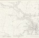
Derbyshire XXIII.11 (includes: Ashford; Bakewell; Hassop) - 25 Inch Map
1920
Ordnance Survey
1:3k
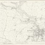
Derbyshire XXIII.11 (includes: Ashford; Bakewell; Hassop) - 25 Inch Map
1897
Ordnance Survey
1:3k
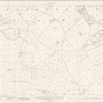
Derbyshire XXIII.SE - OS Six-Inch Map
1938
Ordnance Survey
1:11k
Derbyshire XXIII.SE - OS Six-Inch Map
1920
Ordnance Survey
1:11k
Derbyshire XXIII.SE - OS Six-Inch Map
1897
Ordnance Survey
1:11k
Derbyshire XXIII.SE - OS Six-Inch Map
1878
Ordnance Survey
1:11k
Through the Peak, between London and Manchester. The Railway Traveller and Tourist's Guide between London and Manchester, viâ Derby, Matlock, and Buxton, etc
1871
Derbyshire XXIII - OS Six-Inch Map
1919
Ordnance Survey
1:11k
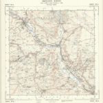
SK26 - OS 1:25,000 Provisional Series Map
1949
Ordnance Survey
1:25k
Derbyshire XXIII.15 (includes: Bakewell; Nether Haddon; Over Haddon) - 25 Inch Map
1920
Ordnance Survey
1:3k
历史
Anciennes cartes de Bakewell (Royaume-Uni)
Découvrez le passé de Bakewell (Royaume-Uni) sur des cartes historiques
Anciennes cartes de Bakewell (Royaume-Uni)
Découvrez le passé de Bakewell (Royaume-Uni) sur des cartes historiques
Explorer les cartes
Découvrir l'histoire
Région parente
Derbyshire
Lieux apparentés